Solutions → Aviation → IDRA
Intelligent Detection and Reporting Application (IDRA)
Point your phone at debris. Get a geolocated report, automatically.
One photo, one report
Detect. Recognize. Measure. Localize.
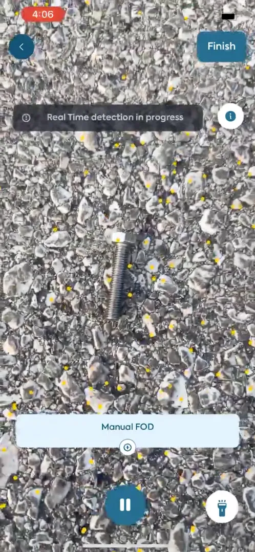
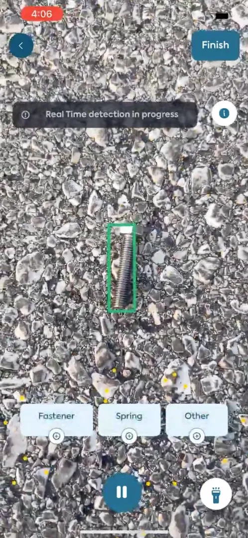
- 01Point and shootGround personnel photograph the debris with a phone.
- 02Detected and recognizedIDRA identifies what it is: for example, a bolt.
- 03Measured and localizedSized and geolocated.
- 04Report generatedA complete digital report, auto-generated from a single image.
Save time
A complete digital report in 20 seconds, from a single image.
- Point and shoot
- Detected and recognized
- Measured and localized
- Report generated
20 seconds, start to finish
No more unplanned closures
Aircraft keep moving. No last-minute standstills.
Use cases
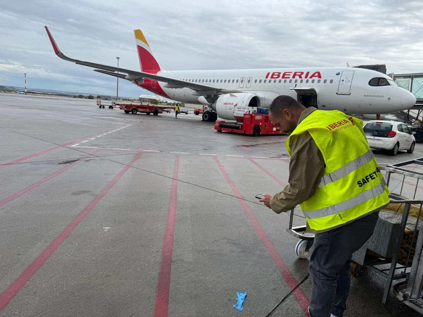
- 01FOD Walk
- 02Flightline Inspection
- 03Aircraft Inspection

AI capabilities
- Detection
- Recognition
- Measurement
- Localization
Airside Intelligence
Three applications, one system: detection hardware, an on-the-spot reporting app, and the analytics layer that ties it together.
Mobile Detection Unit MDU
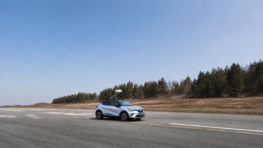
An AI solution mounted on any mobile platform, detecting FOD, pavement damage, AGL Markings, Surface Roughness on runways, taxiways, and aprons.
See the MDUAnalytics Dashboard NERVA
Gives Airside Operations Managers access to inspection reports and analysis, with API connectors into existing systems.
See the Dashboard